
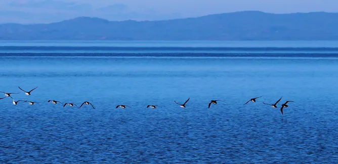
Photons stream from the sun and interact with all matter on Earth. Depending on what the light touches, some of the photons will get absorbed or soaked up. And some will bounce back.
Australian Bureau of Meteorology

The Bureau of Meteorology is Australia’s national weather, climate and water agency. Its expertise and services assist Australians in dealing with the harsh realities of their natural environment, including drought, floods, fires, storms, tsunami and tropical cyclones. Through regular forecasts, warnings, monitoring and advice spanning the Australian region and Antarctic territory, the Bureau provides one of the most fundamental and widely used services of government.
Links
Articles
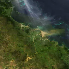
The hottest Australian summer on record is ending, and it’s likely we’ve got a warm, dry autumn to come.
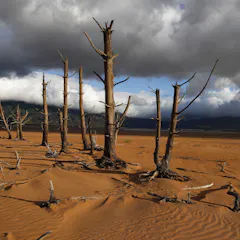
Australia’s subtropical regions are drying, but if we can slow the global temperature rise then rainfall should increase again.
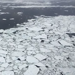
Antarctic sea ice cover fell to an all-time low recently and hasn’t yet recovered. Why? The initial answers could lie in an unlikely place – the tropics.
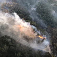
2018 was Australia’s third warmest year on record, as the NSW drought dragged into another year.
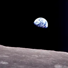
Hace cincuenta años la gente vio nuestro planeta desde el exterior por primera vez.
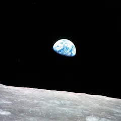
Fifty years ago people saw our planet from the outside for the first time.
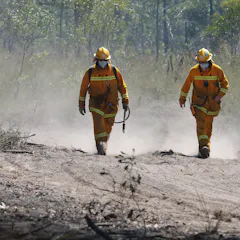
Australia is facing an increase in extreme heat, fire danger weather, floods and marine heatwaves, according to the latest biennial snapshot from the Bureau of Meteorology and CSIRO.
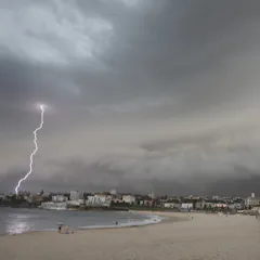
Twice every day the Bureau of Meteorology sends out the official weather forecasts for towns and cities across Australia. Here’s how we work out what to say in them.

The summer forecast from the Bureau of Meteorology predicts a hot, dry summer.
Bushfires across Queensland are fanned by high winds pushed north by a strong low in NSW.
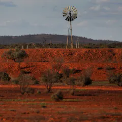
After the warmest month on record, it looks like Australia will have an El Niño event – which means the drought is likely to continue.
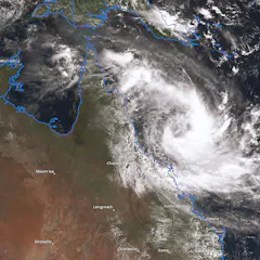
Cyclone season approacheth, but this year there’s a twist
The Conversation, CC BY31.4 MB (download)
Australia must come to terms with some fundamental shifts in our weather patterns. This month, Andrew Watkins from the BOM and climate scientist Joelle Gergis explore what's in store.
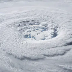
October teaser: Australia’s extreme weather
The Conversation, CC BY1.5 MB (download)
Are our extremes moving past historical precendent into uncharted territory, or is this life as usual on a changeable continent?

Clouds formed by rising warm air currents are called ‘convection clouds’. Because of all the rising air coming up, these clouds can be bumpy on top, sometimes looking like cotton wool or cauliflower.
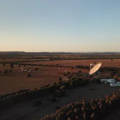
A new outlook from the Bureau of Meteorology forecasts a dry, warm spring – and not the sustained rain we need.
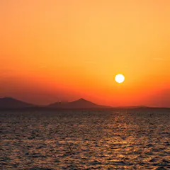
The “red sky” proverb has endured across cultures for centuries, and modern science can explain why this is so.
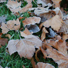
Winter is here, and many farmers are still waiting on their ‘autumn break’ of heavy rain. Unfortunately, it looks like it will be a dry, warm winter – although the snow season will likely be good.
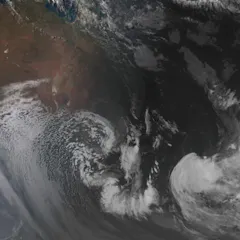
Rapidly dropping temperatures, rain and wind are hitting south-eastern Australia, due to a perfect combination of warm seas and low-pressure systems.
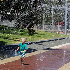
Record-breaking April heat is likely to continue for at least another month.
Authors
-

Climate scientist, Australian Bureau of Meteorology
-
Senior Climatologist, Australian Bureau of Meteorology
-
Head of Water Investigations, Australian Bureau of Meteorology
-
Climate Scientist, Australian Bureau of Meteorology
-
Senior meteorologist, Australian Bureau of Meteorology
-
Climatologist, Australian Bureau of Meteorology
-
Climate Scientist, Australian Bureau of Meteorology
-
Climate Scientist, Australian Bureau of Meteorology
-
Senior Climatologist, Australian Bureau of Meteorology
-
Manager Water Sector Engagement, Australian Bureau of Meteorology
-
BOM, Australian Bureau of Meteorology
-
Scientist, Australian Bureau of Meteorology
-
Senior Meteorologist, Australian Bureau of Meteorology
-
Team Leader, Australian Bureau of Meteorology
-
Climatologist, Australian Bureau of Meteorology