
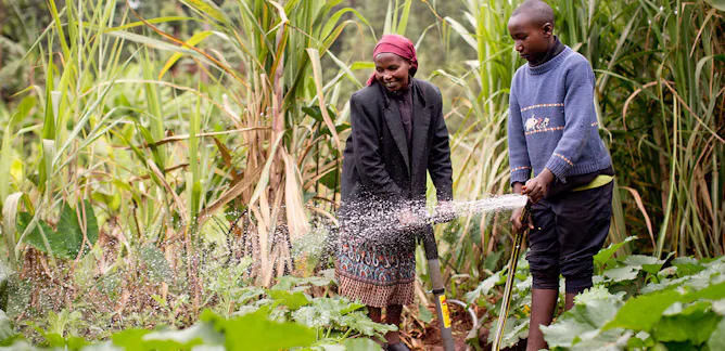
Understanding rural household aspirations and taking them seriously in development planning could offer great potential in shaping the future of rural spaces.
Center for International Forestry Research – World Agroforestry (CIFOR-ICRAF)

The Center for International Forestry Research is a non-profit scientific research organization that conducts research on the use and management of forests with a focus on tropical forests in developing countries. World Agroforestry (ICRAF) generates science-based knowledge about the diverse benefits - both direct and indirect - of agroforestry, or trees in farming systems and agricultural landscapes, and disseminates this knowledge to develop policy options and promote practices that improve livelihoods and benefit the environment. ICRAF is a CGIAR Consortium Research Centre. ICRAF’s headquarters are in Nairobi, Kenya, with six regional offices located in Cameroon, China, India, Indonesia, Kenya and Peru.
Links
Articles
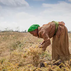
Smallholder farming might not be able to generate enough value on its own, but farmers still need support.
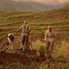
Ethiopian researchers put together maps which show where there are soil fertility issues and whether nutrients are missing.
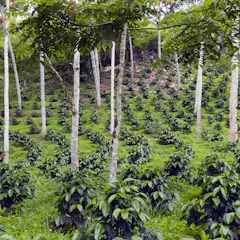
Because the interactions between trees, soils, crops and livestock can be positive or negative, their relationship must be balanced and understood.
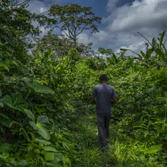
Forest communities have seen little or no change in improving livelihoods and stopping deforestation.
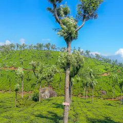
If we need more trees, many will have to be introduced into managed agricultural mosaic landscapes.
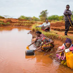
Declining water quantity and quality means people have to travel further to find good water sources.
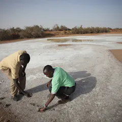
A Land Degradation Surveillance framework could solve this problem by systematically measuring and tracking indicators of land health in Africa.
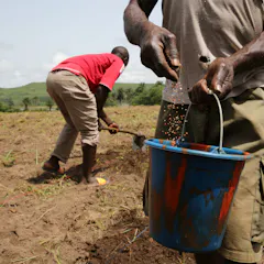
Soil scientists have rarely gone the extra mile to translate their knowledge into forms that can be integrated into economic decision making.
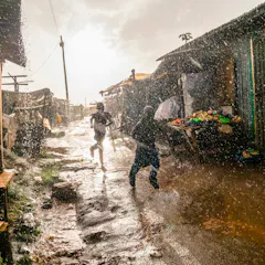
The beauty of rainwater harvesting is that anybody can do it.
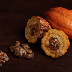
Shade trees buffer cocoa plants from heat and water stresses, and create conditions that benefit their growth.
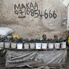
There are some big misconceptions about the charcoal sector and its role in environmental damage.
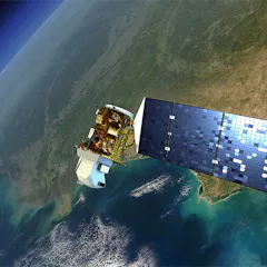
A new approach to monitor changes to the earth’s surface uses maps that consist of physical and human geographic data to explain what’s changed.
Authors
-

Global Scientist, Center for International Forestry Research – World Agroforestry (CIFOR-ICRAF)
-
Senior Research Officer, Center for International Forestry Research – World Agroforestry (CIFOR-ICRAF)
-
Research Officer, Indonesia Lead Research Group Green Value Chains, Integrated Business Model, and Innovative Financing, Center for International Forestry Research – World Agroforestry (CIFOR-ICRAF)
-
Scientist, Center for International Forestry Research – World Agroforestry (CIFOR-ICRAF)
-
Pesquisador, Center for International Forestry Research – World Agroforestry (CIFOR-ICRAF)
-
Facilitator and private sectors liaison, Center for International Forestry Research – World Agroforestry (CIFOR-ICRAF)
-
Indonesia Country Director dan Senior Scientist, Center for International Forestry Research – World Agroforestry (CIFOR-ICRAF)
-
Co-Leader, Tree Productivity & Diversity, Center for International Forestry Research – World Agroforestry (CIFOR-ICRAF)
-
Soil Systems Scientist, Center for International Forestry Research – World Agroforestry (CIFOR-ICRAF)
-
Principal Scientist, Center for International Forestry Research – World Agroforestry (CIFOR-ICRAF)
-
Director Africa, CIFOR-ICRAF, Center for International Forestry Research – World Agroforestry (CIFOR-ICRAF)
-
Co-Leader, Tree Productivity & Diversity, Center for International Forestry Research – World Agroforestry (CIFOR-ICRAF)
-
Director General CIFOR, Director of Science CIFOR-ICRAF, Center for International Forestry Research – World Agroforestry (CIFOR-ICRAF)
-
Scientist, Center for International Forestry Research – World Agroforestry (CIFOR-ICRAF)
-
Senior Scientist, Agriculture and the Environment, Center for International Forestry Research – World Agroforestry (CIFOR-ICRAF)